Travel agency specializing in hiking holidays in the Ardennes and Europe


Europ’Aventure
The hiking travel specialist
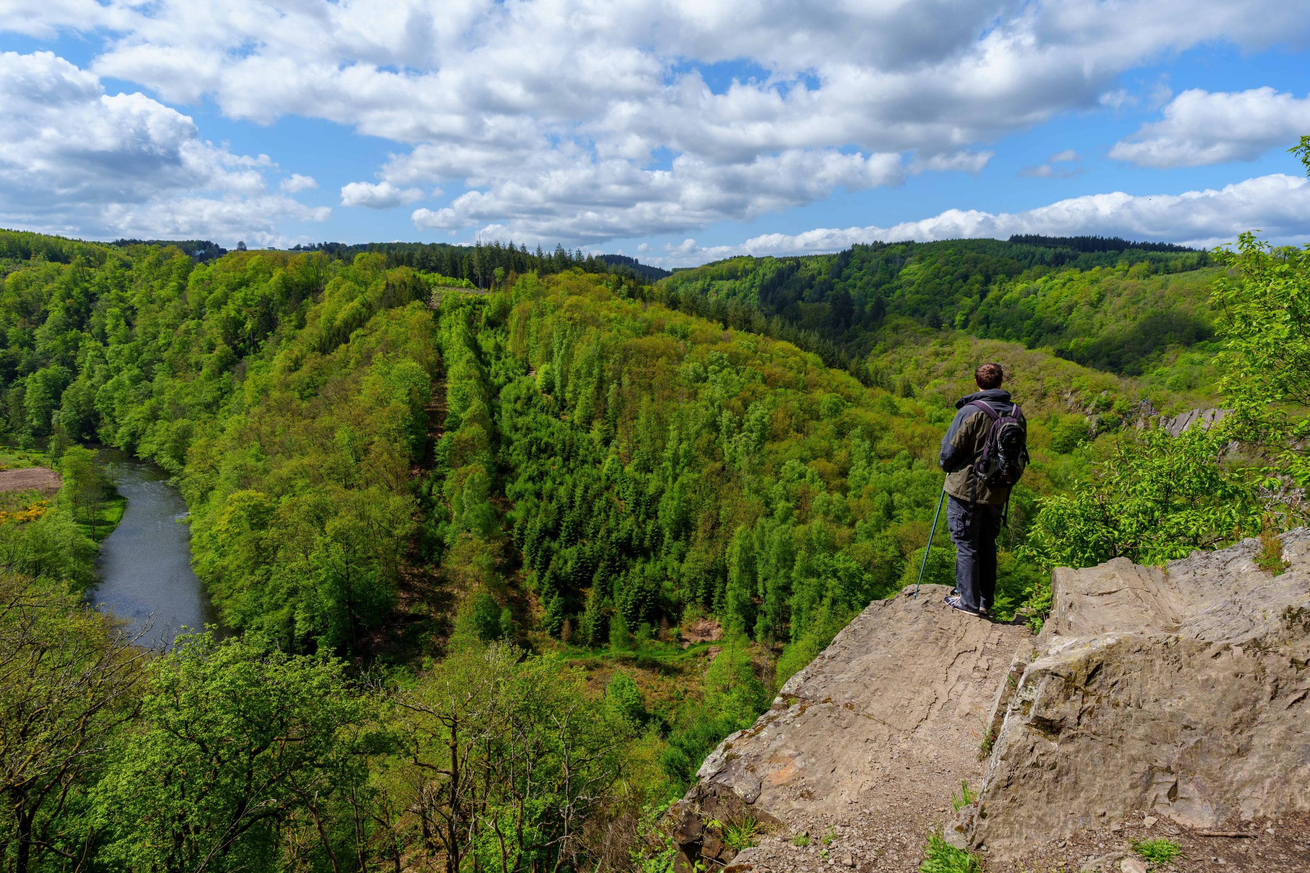
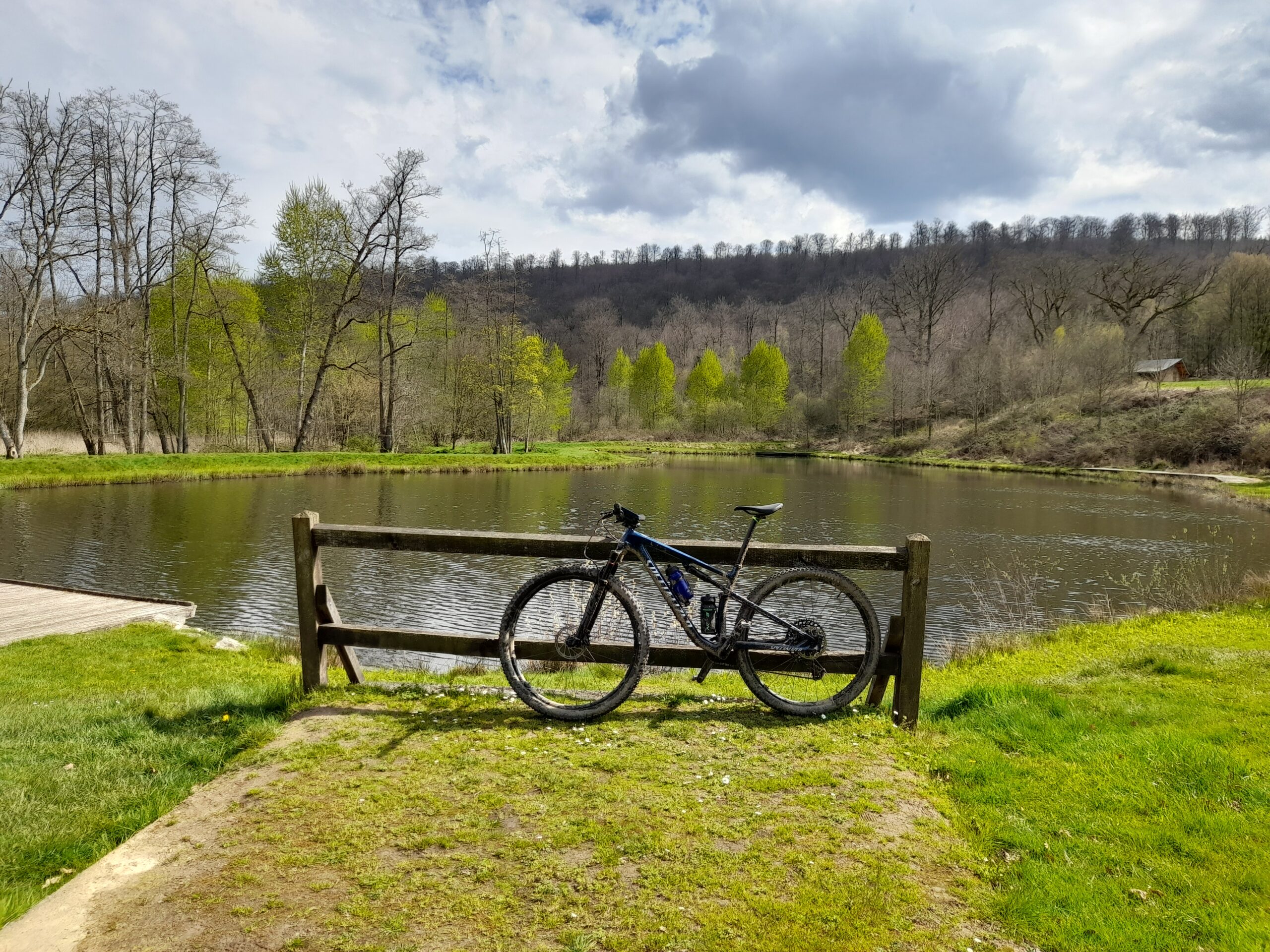
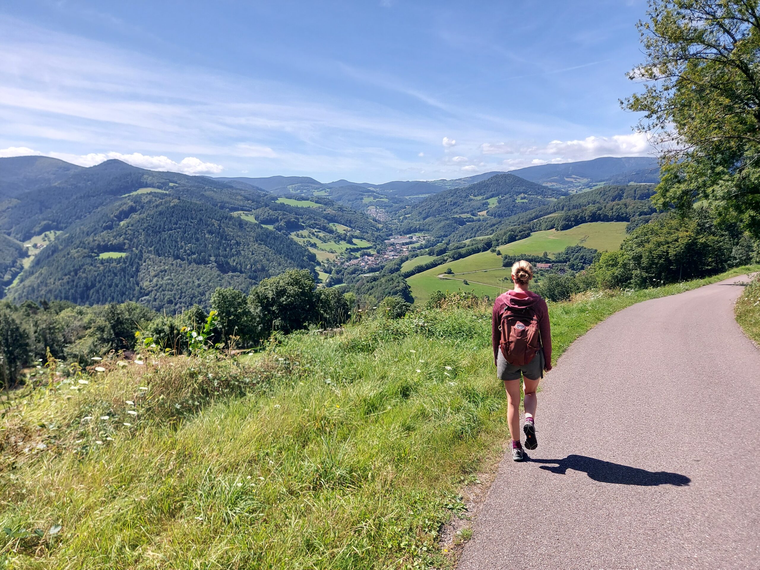
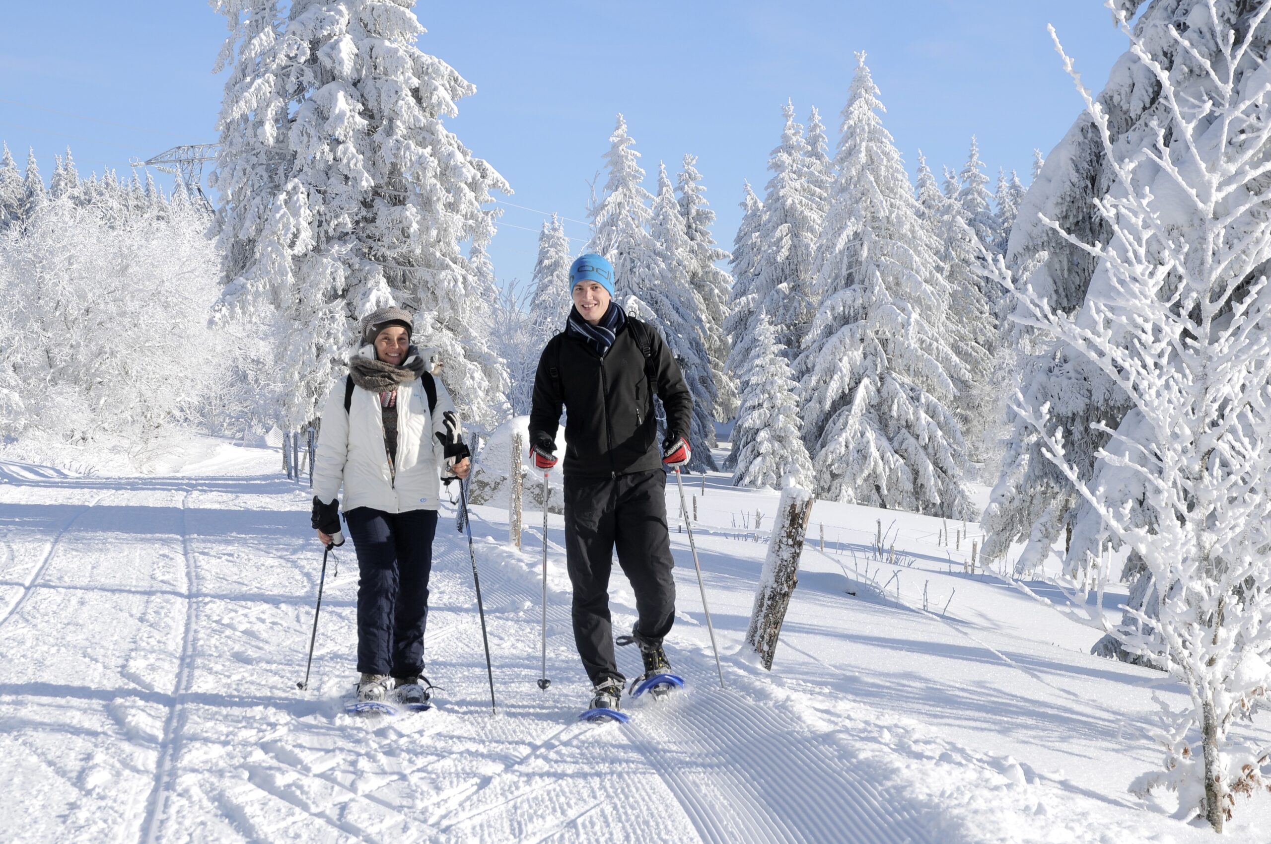
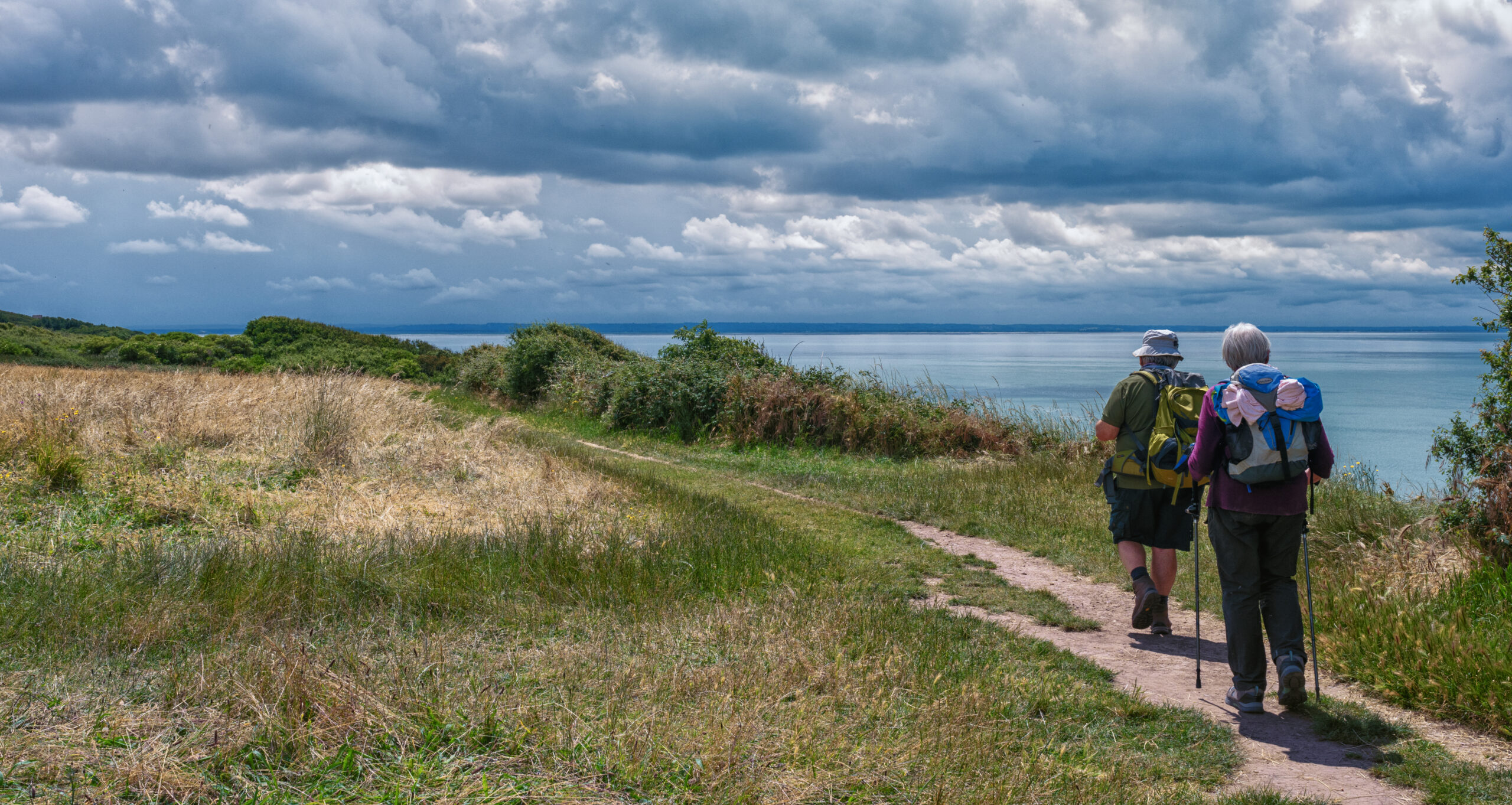
Organized hikes in the Ardennes, Famenne and Gaume, but also in the Vosges and Brittany. Benefit from professional organization and travel on the most beautiful itineraries.
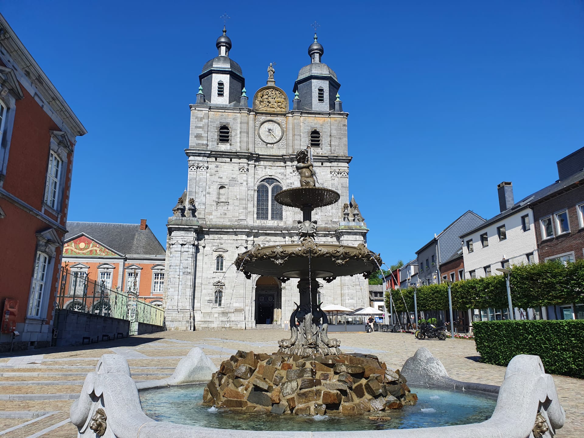
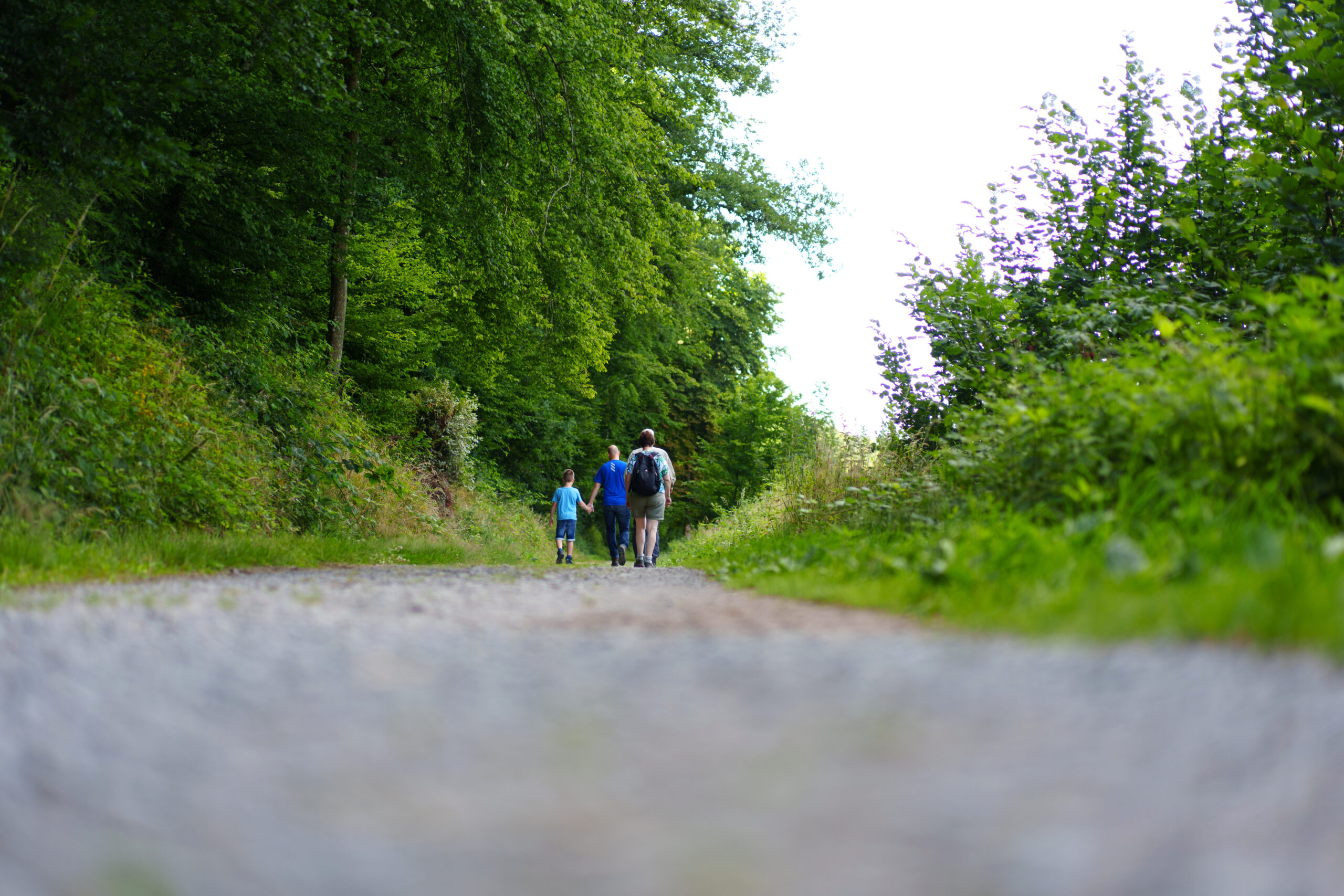
Located in the heart of the Belgian Ardennes, Europ’Aventure has been the hiking travel specialist for over 30 years. We create itineraries and trips for all types of walkers and cyclists, always focusing on the following aspects: FREEDOM, NATURE and LOCAL PARTNERS.
When you choose Europ’Aventure, you can rest assured that you’ll be able to make the most of nature and the people you’ll be travelling with. We take care of everything: accommodation, half-board, luggage transport, return journey, map, etc.
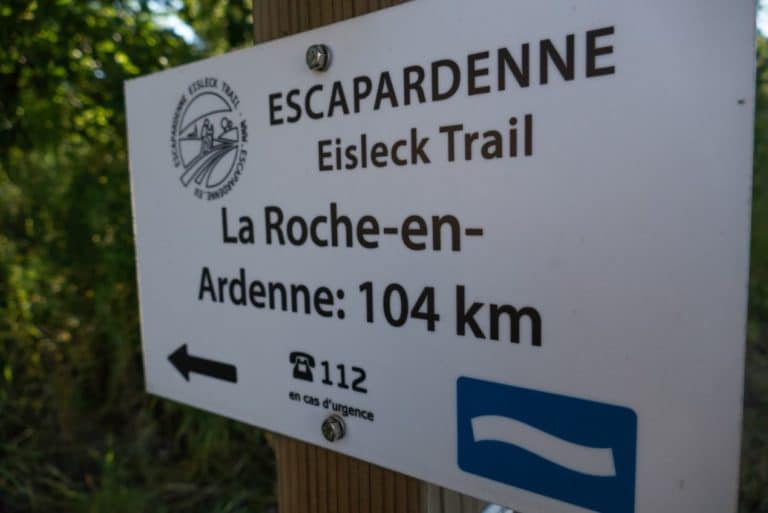
Thanks to its exclusive partnership with GTA, Europ’Aventure is also the only agency able to organize trips on the TRANSARDENNAISE one of Belgium’s most beautiful long-distance hiking trails.